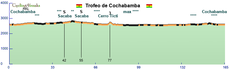
Sihanoukville-Kep
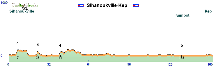
Start in Sihanoukville named after the former king, prime minister, head of stage, leader in exile, king again and I probably missed a few stages of his life. He doesn't seem to have any special connection to the place though. It's located on a hilly peninsula, and we take advantage of that and spend the first 40+ km in long loops around the city to get 3 short climbs, 2 at 7% and the last one at km 41 at 6%. After that it's all flat for 120km until the finish, but the hill sprinter teams can try to split and drop the sprinters early, but most likely will be a just a big effort for nothing. Unless of course Messerli or Gabel are there, Mobster used to love to drop them at 100km and never let him back. Grrr.
Anyway, we then first head northeast on a highway, then go back to the sea, pass the Damrei mountains (Elephant mountains) with Bokor Hill station on the south, through Kampot for an intermediate, then finish in Kep, a city that used to be a very popular tourist destination, the Côte d'Azur of Cambodia. Like much of the country it suffered a lot under the Khmer rouge, destruction of colonial buildings the least of their crimes though, it has been recovering since then and is getting tourists again now.
163 km, 9 riders, mintact at 132. normally an easy sprint
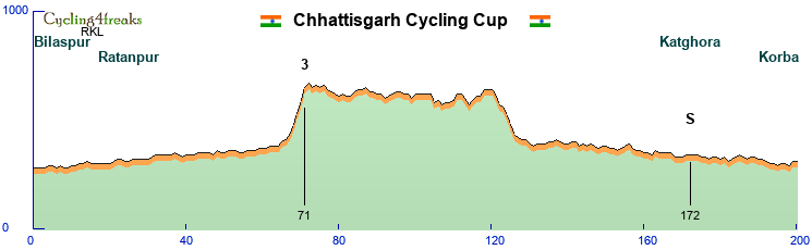
Mong Cai-Dongxing

Start and finish a few hundred meters apart, but we don't cross the border directly but ride upstream along the Ka Long river. Around km 40 the road leaves the river and goes up the hills up to 900 meters above sea level, going down again after, crossing the river at km 79/80, where the 2 intermediate sprints are. On the Chinese side we cycle downstreams along the Beilun river. Same river, this time we use the chinese name. 2 hills this time, the first one we could have followed the river, the second one like on the vietnamese side can't follow the river, probably a sort of canyon there? No clue. A final 6 at km 147 will make it hard for hill sprinters, so should be for classics with sprint, or really strong hill sprinters maybe. Löffel yes, Merlier no basically
157 km, 9 riders, mintact at 126