Re: Woddelton Creation Team
Posted: Thu Dec 15, 2011 10:13 pm
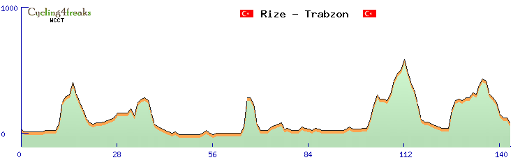
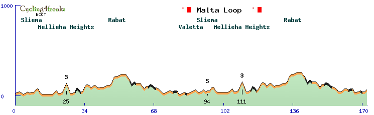
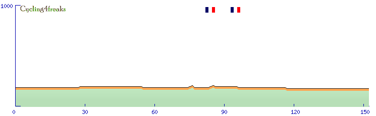
Got to say something to your race today at the Sexchelles... cause from what I saw in Google Earth, your profile was quite wrong. As there's only one mountain at the Seychelles that more than 700m high, it's obvious where your sttep climb was, and what was wrong with it. The clouds do not allow to see the street in total, but what is obvious is that it doesn't follow that yellow line symbolising the street (could imagine that's what displayed in google maps, but don't know). From the beginning of the cloud, the line just goes straight over the mountain, but in a hole in the the clouds you can see the street, quite far left from the line, crossing the range at just 550 meters or something like that. So I don't know how you made that race, but if you see a road that steep, you should check and think about if this could really be. Especially if the road goes perfectly straight, with 20% climbs. I haven't seen something like that anywhere in Google Earth till now. The mountain today was just heavily wrong.
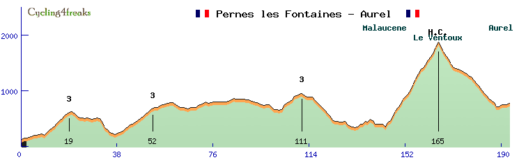
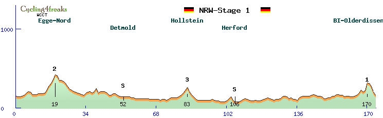
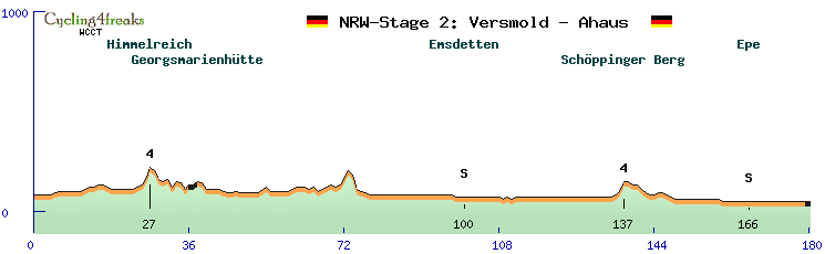
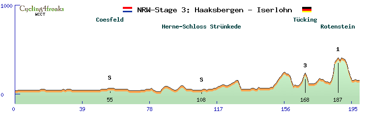
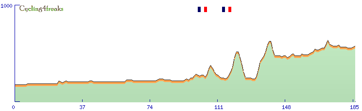
And by the way, your tour de Guadaloupe, Puerto Rico, Split Biokovo and Uganda look weird, maybe similar mistakes happend there. Those ups and downs in climbes are unusal, that's not the way roads are build normally. I suppose your method is not quite good to make those races. When I made my race around the Gorges du Verdon, I saw the white and yellow road lines and even the picture just going down 300m nearly vertical drop into the cataract, and after a curve directly out again. Which is wrong clearly, I just corrected that by imagining how tha road might probably lead correctly. Checking those climbes with Googel Earht might help here.
And by the way, your tour de Guadaloupe, Puerto Rico, Split Biokovo and Uganda look weird, maybe similar mistakes happend there. Those ups and downs in climbes are unusal, that's not the way roads are build normally. I suppose your method is not quite good to make those races. When I made my race around the Gorges du Verdon, I saw the white and yellow road lines and even the picture just going down 300m nearly vertical drop into the cataract, and after a curve directly out again. Which is wrong clearly, I just corrected that by imagining how tha road might probably lead correctly. Checking those climbes with Googel Earht might help here.